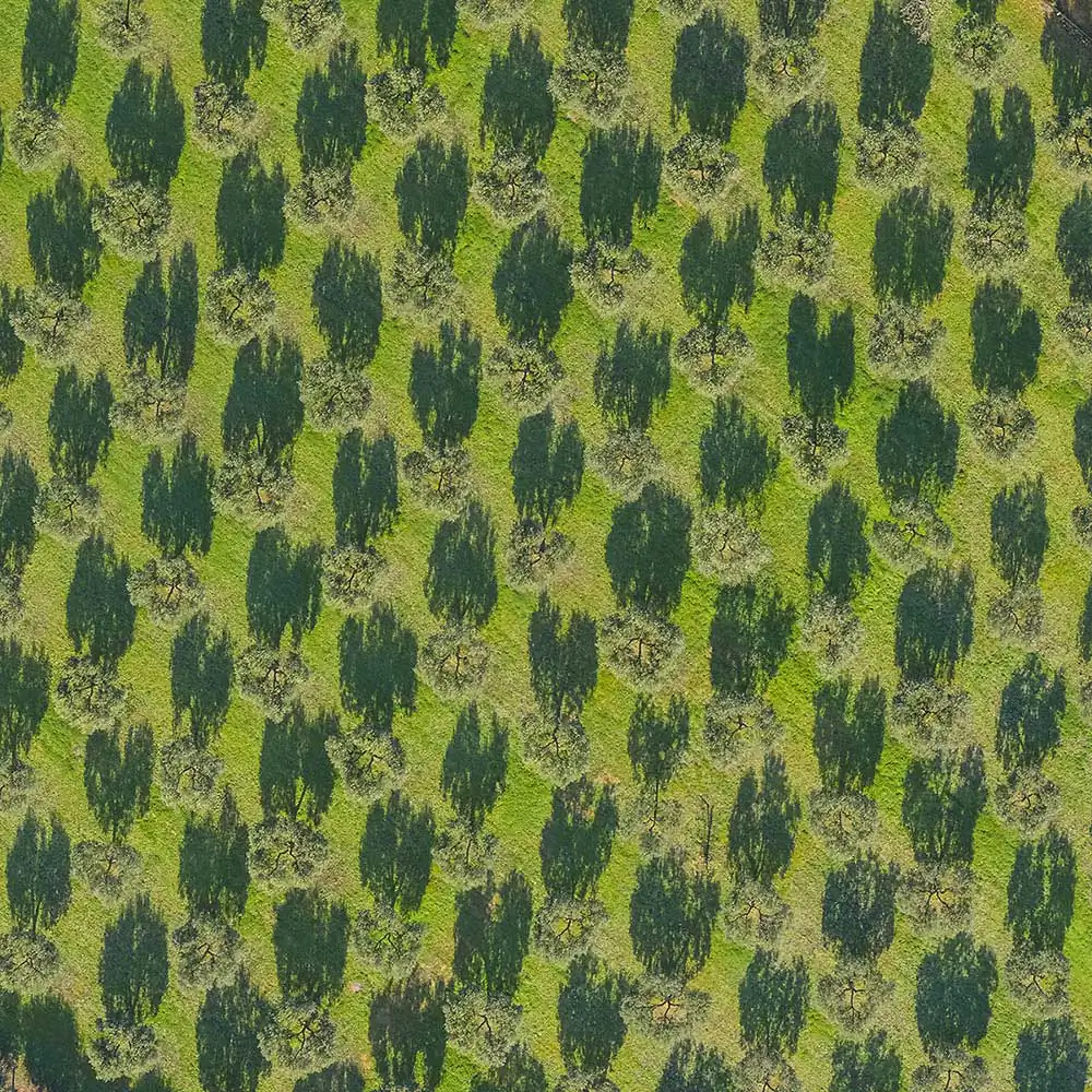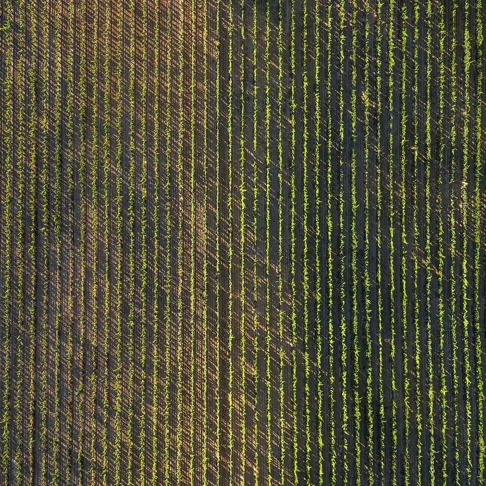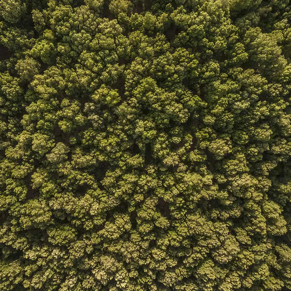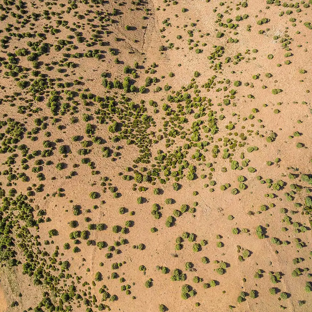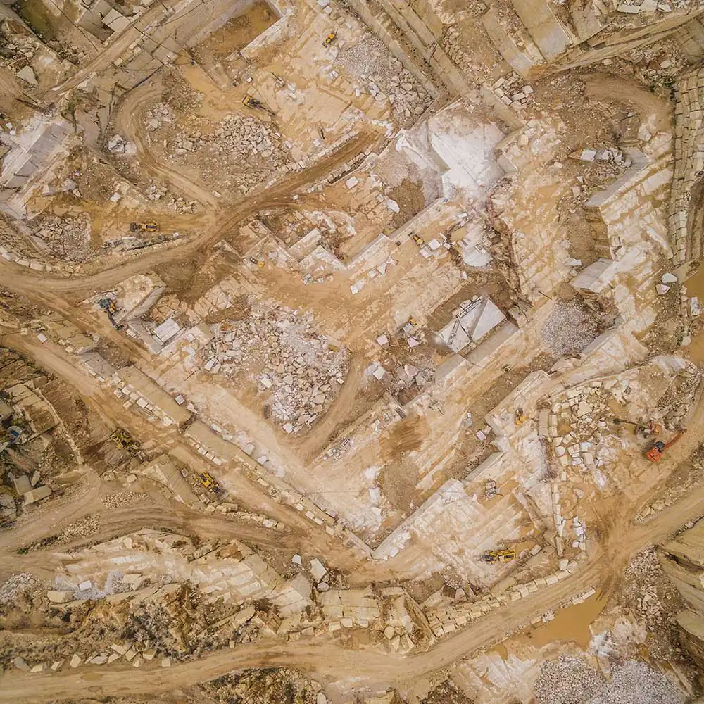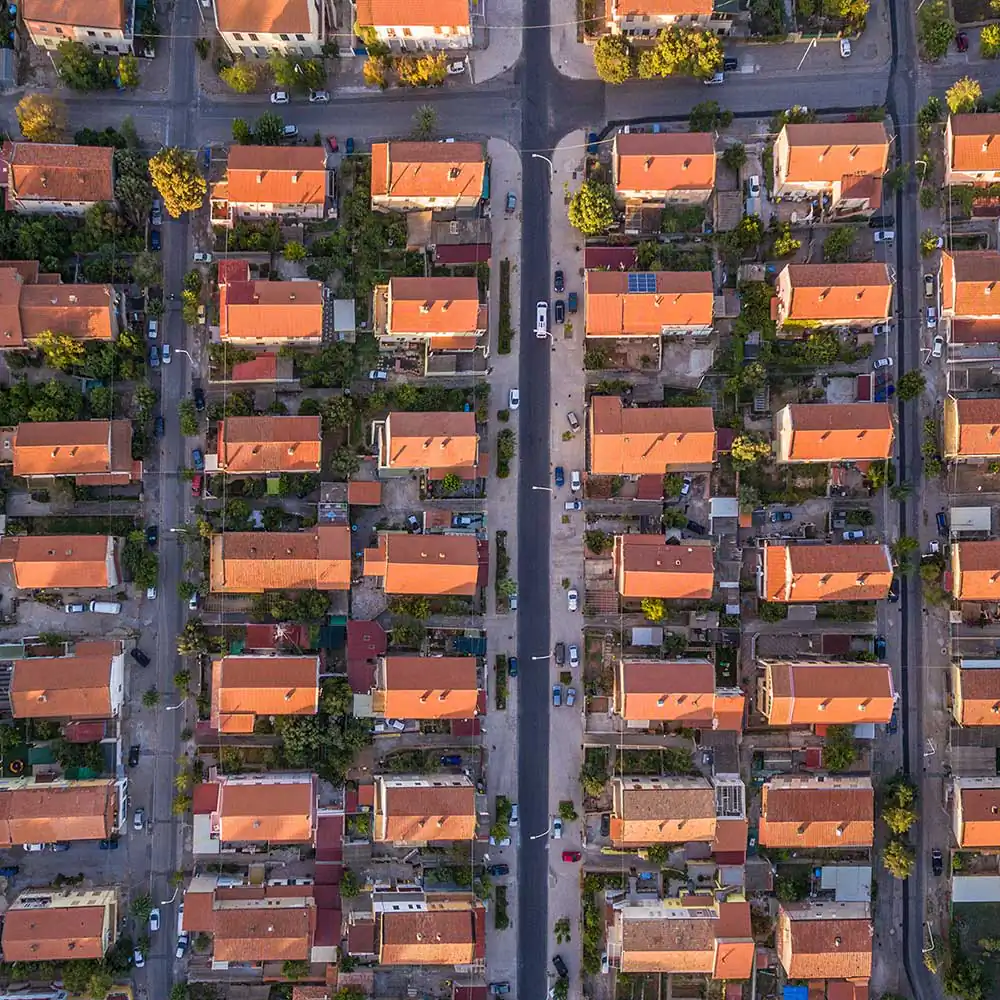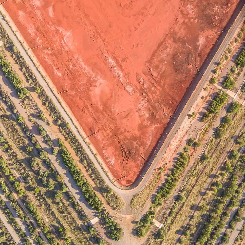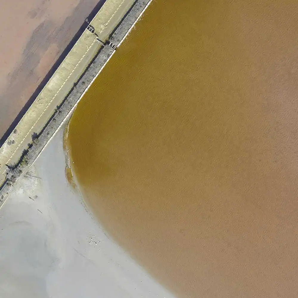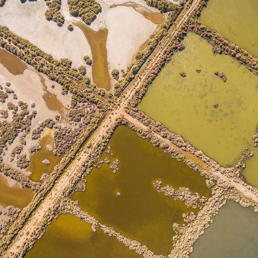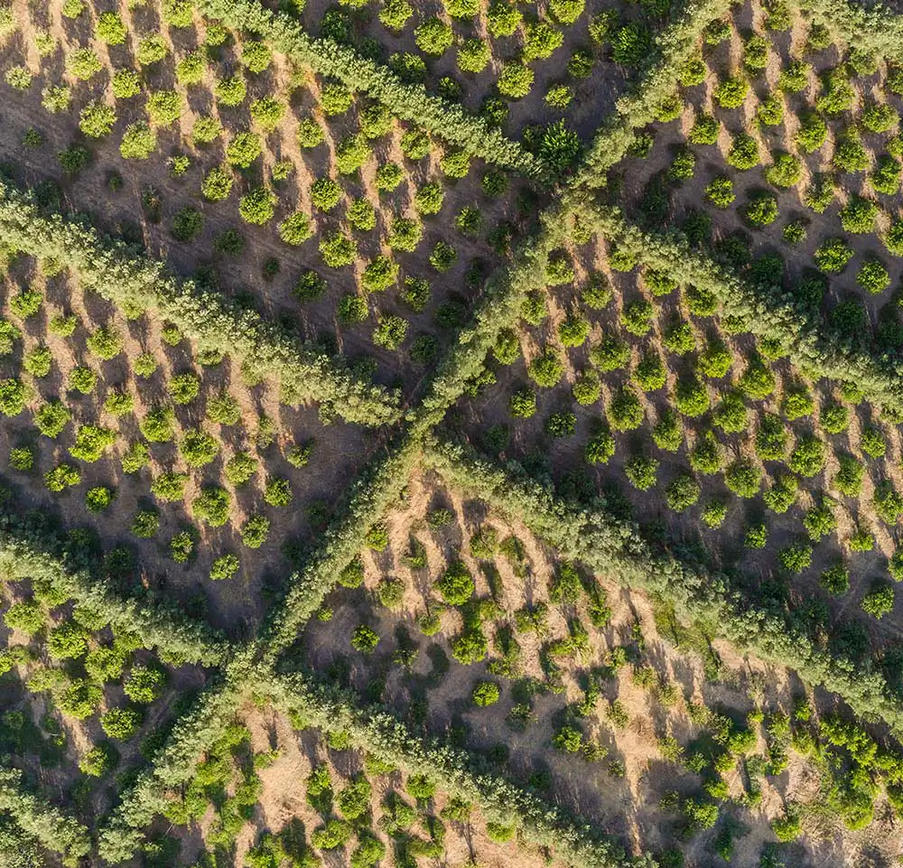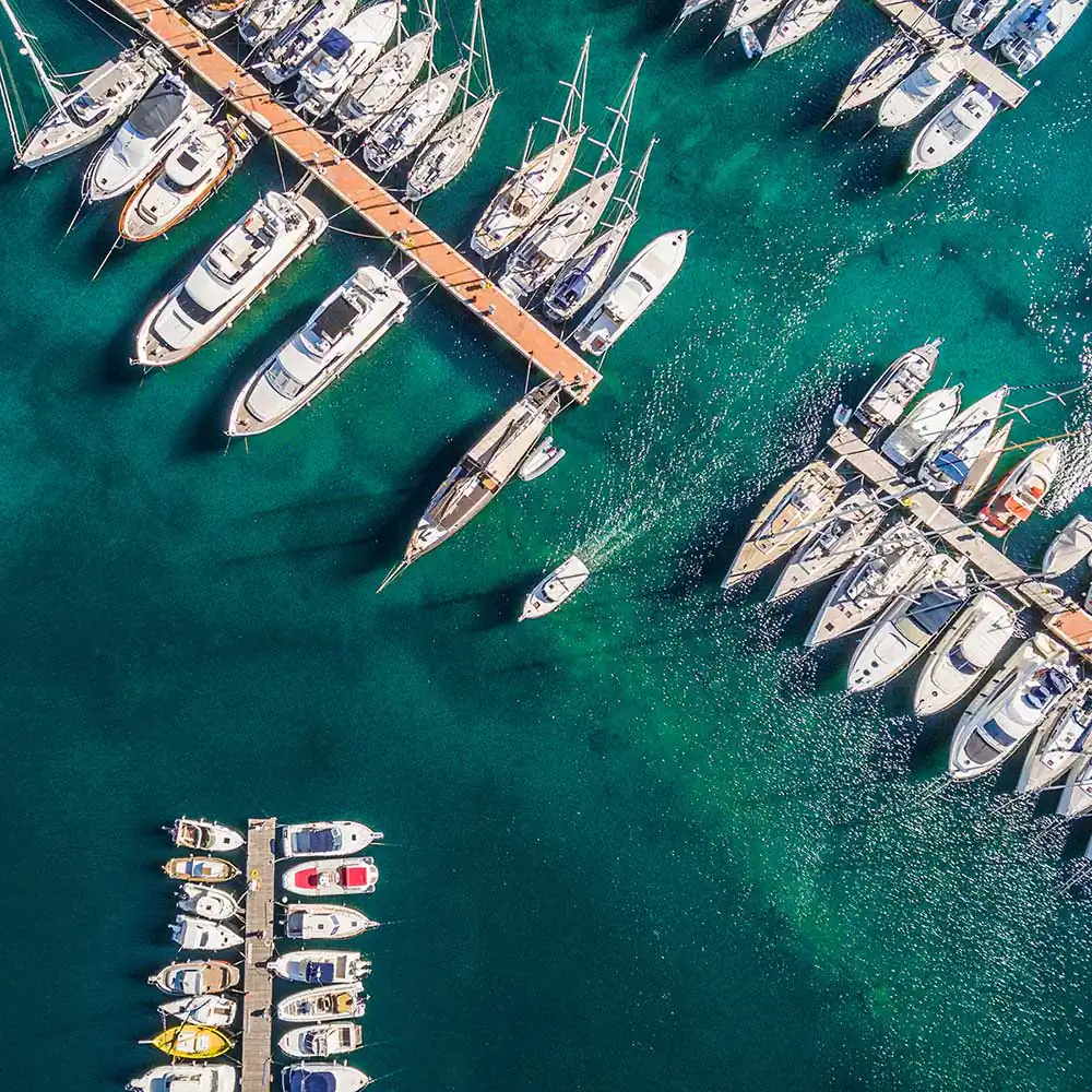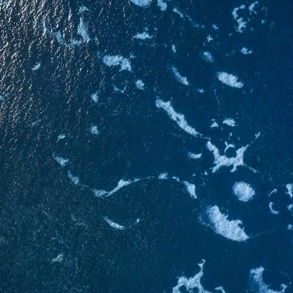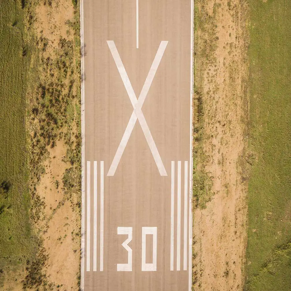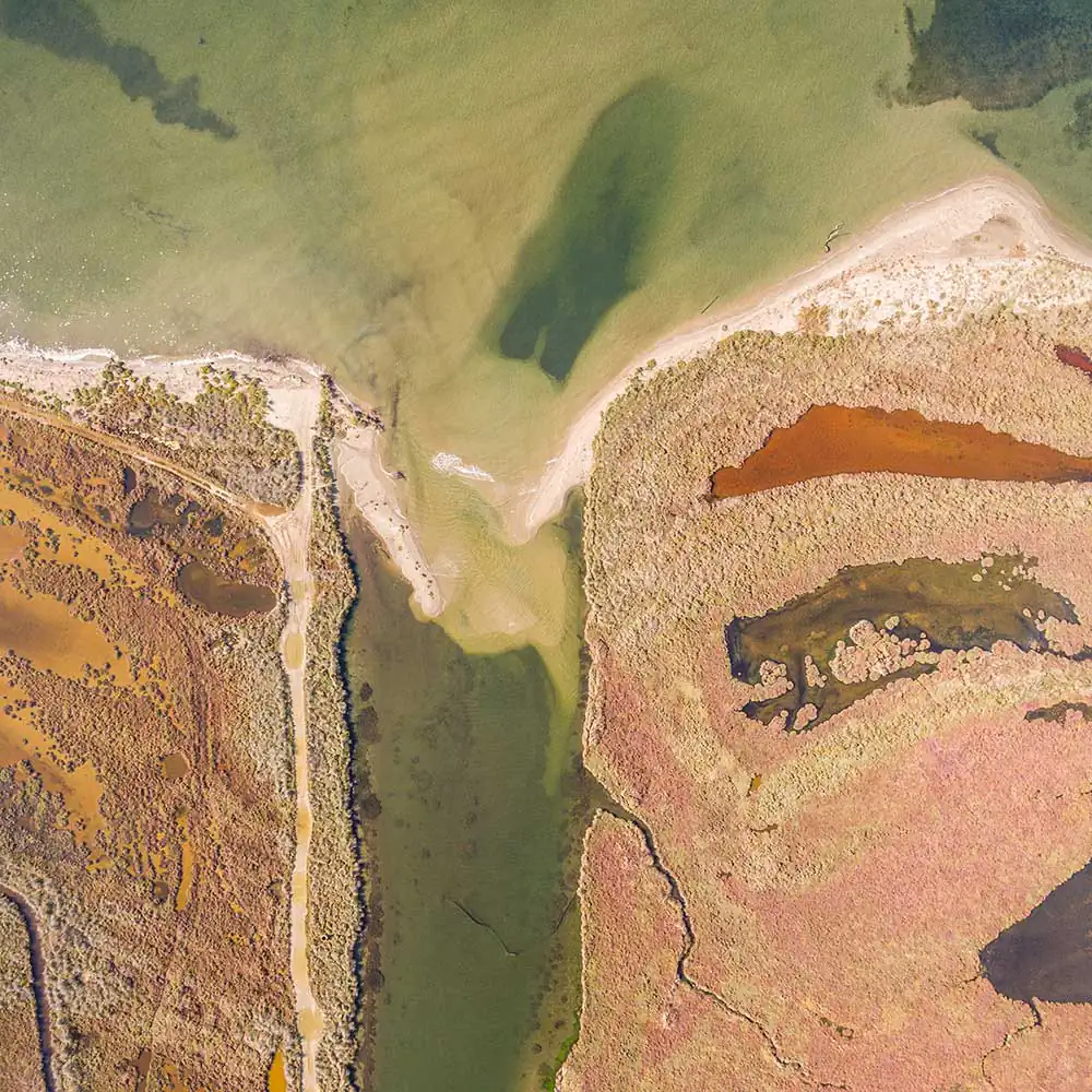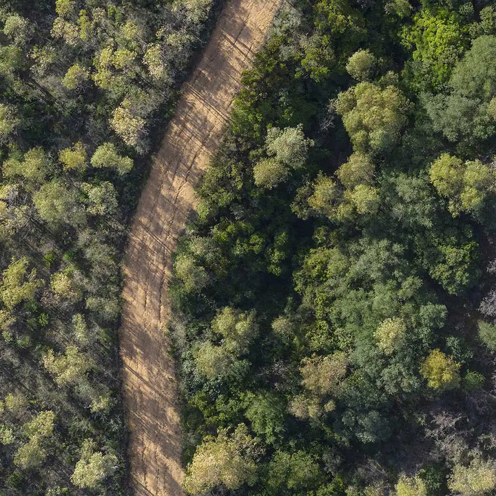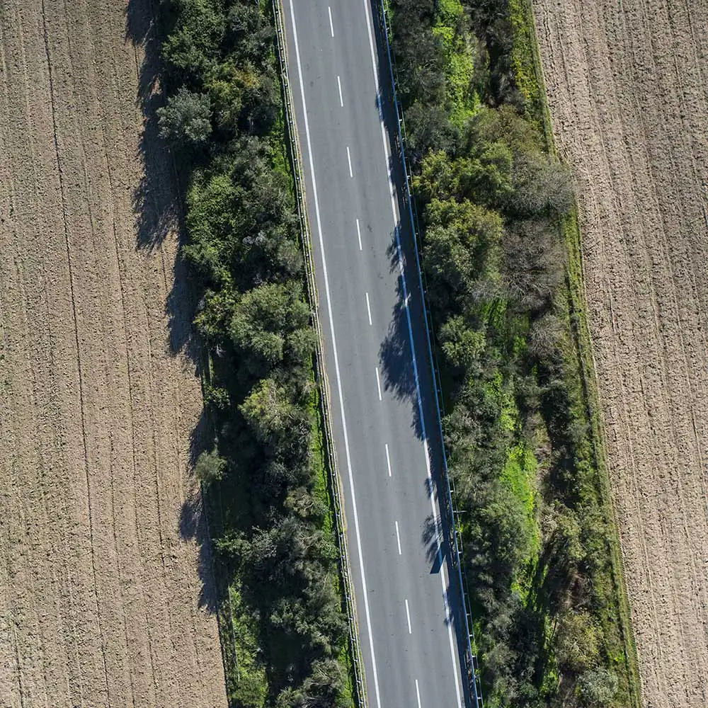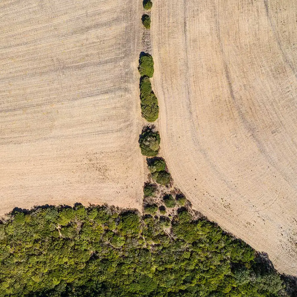

This project, realized through the use of the drone, is inspired by the method of cataloging the use and covering of the soil known as the Coordination of Information of Environment, which was set up by the European Commission in 1990 and identifies 44 different classes, collecting the 5 macro areas.
1 – Artificial surfaces / 2 – Agricultural surfaces used / 3 – Wooded territories and semi-natural environments / 4 – Wet areas / 5 – Water bodies.
All EU states have taken part in this project specifically for tracking and monitoring the land cover and land use characteristics, with particular attention to environmental protection requirements. Knowing how the Earth’s surface changes is the basis for implementing the right choices about planning and safeguarding the territory. In Sardinia there are almost all types classified, thanks to the different rocks from which various forms of landscape and soils are generated.
Follow what’s new in the Dodho community.
Join the newsletter »